Smart Integration of Flood-Control Data: A Copilot for Flood Detention Basins
The information management platform of a flood detention basin in southern China consolidated hydrology, meteorology, and engineering data from 'every system for itself' to 'one screen for all' — with real-time AI alerts, dynamic monitoring and simulation, and science-based management recommendations grounded in historical and live data, moving flood-control decisions from experience-driven to data-driven.
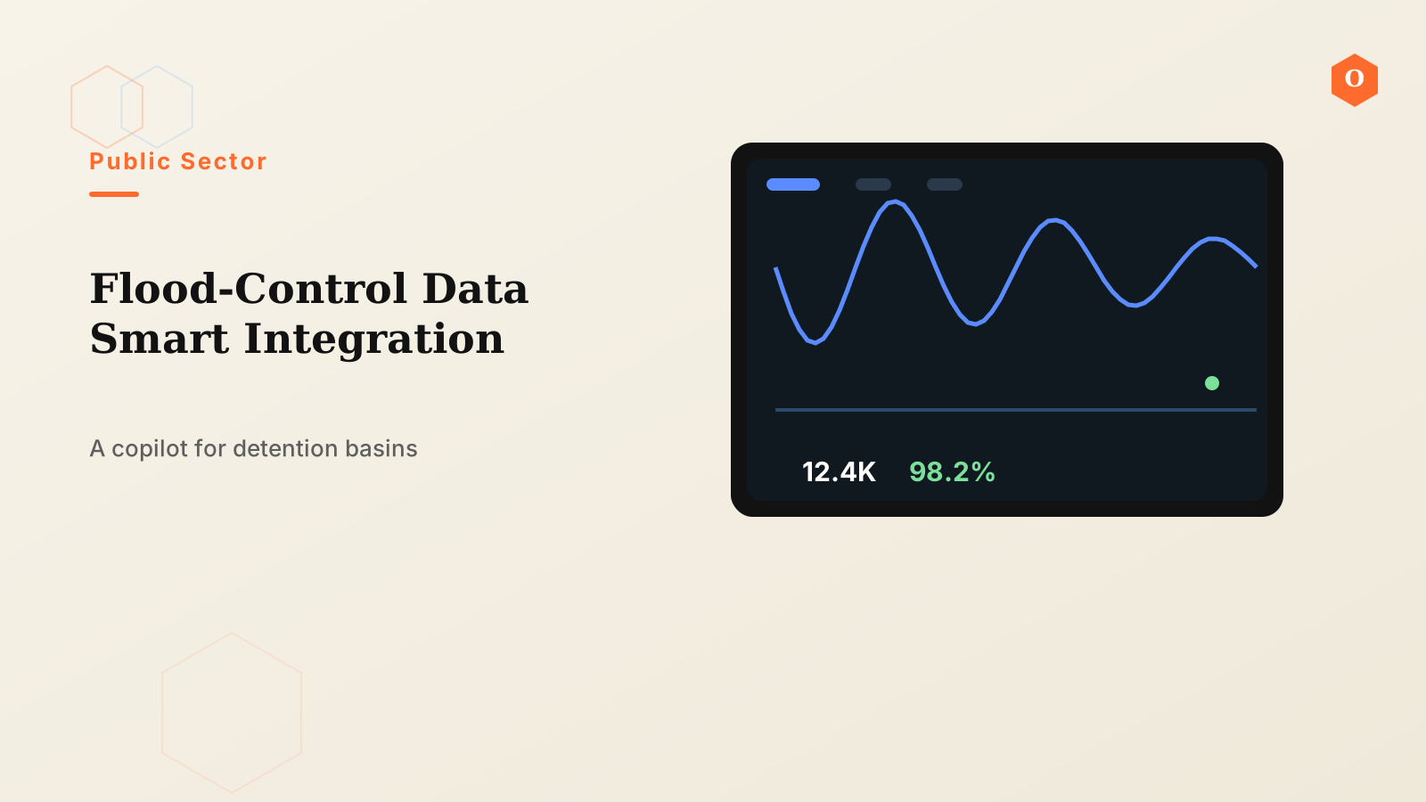
A flood detention basin in southern China plays a critical role in the river basin's flood-control system — storing and diverting excess floodwater. The information platform serving it is built and operated by the regional water and flood-control authority, which faces a recurring industry problem: floods don't wait, but data is fragmented. Today, the platform is integrating scattered water-data sources into an intelligent system that can alert, simulate, and support decisions.
Background and Pain Points
Running a flood detention basin involves far more data types than most people expect: rainfall, water level, and flow from hydrological stations; rainfall forecasts from meteorological departments; operating conditions of gates, pumps, and other engineering facilities; and surveillance video distributed across the basin. These data usually come from different systems, different vendors, and different formats, with no relationship to each other. Data silos have two direct consequences. First, in an emergency, decision-makers spend significant time switching between systems and manually piecing information together. Second, the data lies dormant in its own silos, poorly mined, making it hard to answer forward-looking questions like "if the rain gets heavier, which area floods first."
The industry's answer also points to data. The Ministry of Water Resources has been advancing smart water conservancy, explicitly requiring digital-twin water systems with four core functions — forecast, warning, rehearsal, and plan. Practice across the country repeatedly proves that whether a digital-twin platform works depends first on whether the data foundation is complete: whether cross-departmental data from water, meteorology, and hydrology is fully aggregated and dynamically connected.
What We Did
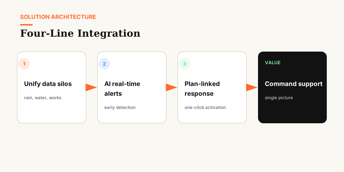
The project's core actions were "integration" and "enablement," organized into four threads around the basin's actual business.
Thread 1: Breaking data silos and integrating unrelated data. Scattered water data from different systems was consolidated into a structured data foundation, making rainfall, water, engineering, and video data — previously disconnected — visible, queryable, and relatable on one platform. This is the basis of everything that follows.
Thread 2: Real-time AI alerting. The system intelligently analyzes the consolidated data. When water level, rainfall, or other indicators reach thresholds or show anomalous trends, alerts trigger automatically, helping flood-control staff respond to natural disasters quickly — moving the point of detection from "manual patrol" to "automatic system."
Thread 3: Dynamic monitoring and rehearsal. The platform supports dynamic monitoring of the water situation based on live data, combined with historical data and preset scenarios for flood simulation rehearsals. This supports flood-control decisions in real time — decision-makers see the likely inundation scope and impact under different inflow scenarios on screen, rather than relying on experience and imagination.
Thread 4: Science-based decision recommendations. Through integrated analysis of historical and real-time data, the system provides quantified recommendations for operations such as regulation, inspection, and population evacuation — turning "going with a gut feeling" into "letting the data speak."
Results
- Multi-source water data moved from "every system for itself" to "one screen for all," eliminating back-and-forth switching during emergencies.
- Alerts shifted from "human discovery" to "automatic system triggers," significantly shortening response time for abnormal water conditions.
- Flood simulation rehearsals let decision-makers "see before they act," buying lead time for evacuation and regulation.
- Management recommendations grounded in historical and live data make daily regulation and contingency planning more evidence-based.
- Overall emergency efficiency improved — ultimately showing up as less guesswork and faster action in disaster response.
Lessons Learned: From the Project to OntiCards
The deepest lesson from this project: the intelligence of flood emergency response is nine-tenths data and one-tenth model. If data standards are inconsistent, relationships are unclear, and definitions drift, even the strongest algorithms have nowhere to start. Conversely, once data is integrated, structured, and semantically defined, alerting, rehearsal, and decision support follow naturally.
These lessons have been distilled into OntiCards' solution for smart water and disaster prevention. We apply our four-layer architecture — Ingest, Cards, Ask, Consume — to water scenarios: after heterogeneous data is ingested, data cards define business semantics (objects and relationships such as water level, flow, regulation commands, and risk points), and natural language Q&A lets business staff query directly. Water-data integration and flood-decision support are the most typical battleground for this "data governance plus intelligent application" model. Visit the OntiCards website to see how we bring these lessons to more industries.